
Site Based Services
If you don’t see the service you require below, please get in touch and we will endeavour to help you out.

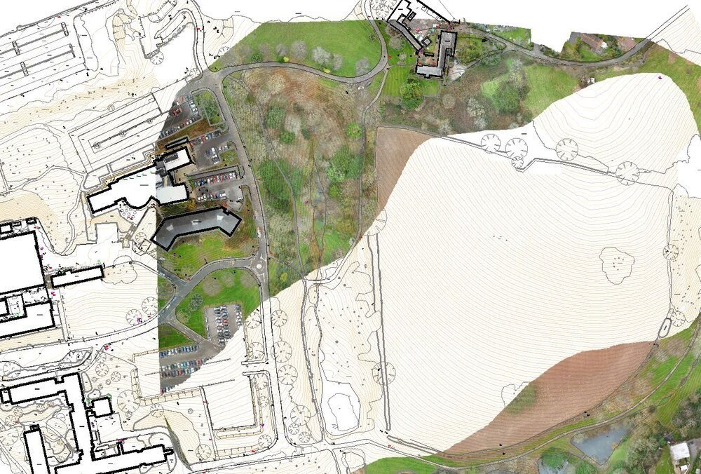
Topographical Surveys
We provide, accurate, 2d and 3d up to date plans drawn at an appropriate scale - a topographical (topo or topographic) survey. Available deliverables:
Hard copy colour plan at defined scale (1:50. 1:100, 1:200, 1:500, 1:1000, 1:1250)Contours plotted
Topo Survey linked to O.S. National Grid if required
Digital data as DXF or DWG file
Witness diagrams and station descriptions
A well installed, secure network of survey control stations (for future work)
Telephone support after delivery
**Change Image

Renewable Energy Surveys
We work on wind turbine projects creating plans of the site for analysis, planning and logistics
Hydro generations projects from initial site surveys and mapping through to the construction setting out and excavation volume calculation
Mapping surveys for Solar Farms
Digital Terrain Modelling
DTMs are created by surveying the site levels and creating a digital model of the land surface for excavation volumes or building development design purposes
This can de done from old drawings or by collecting levels on site using GPS or robotic total stations


Underground Utility Mapping
2D AutoCAD model of Underground Services and Obstructions
3D AutoCAD model of Topographical Survey
CCTV Images
Utility Detection Survey Report issued on site if required that day.
EML and Genny cable scanning
Site Engineers / Setting Out
Construction work setting out for Contractors and Developers
From office blocks or new bridges to single house projects we can set out all the work to a high tolerance

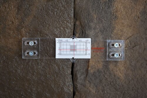
Movement Monitoring
Photographic & Video Surveys
About to start a project? Then get the site surveyed with an independent record of existing site conditions.
If movement or cracking is possible then movement monitoring can be carried out at agreed intervals, reports issued identifying extent of movement in cracks or entire buildings.
Photographic Progress Reports
Photo and Video records taken before during and after projects
To assist with progress reports or dispute resolution publications and social media


Land Registration Surveys
Surveys and maps for new or subdivision of land for registration with Land Property Services
Surveys are carried out with GPS systems surveying on the OS grid and datum
3D Laser Scanning
We produce millimetre-accurate 3D models and deliver model cross sections and elevations to the client's specification
The high speed of laser scanning also dramatically reduces time on site, as the majority of the extraction is completed off site by processing the scan data


Project Management
We provide an experienced Surveyor to manage a construction or development project from new builds to civil engineering projects
We can ensure all steps are taken to make sure projects are built to spec and completed on time